Why Geographic Information Systems (GIS) is important in curbing the spread of COVID-19 - an interview

Explainer on the significiance of Geographic Information Systems (GIS) in curbing the spread of COVID-19
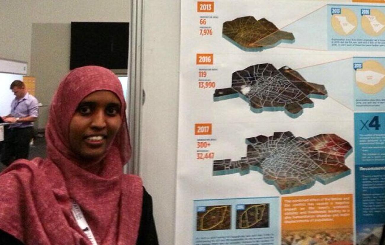
Umikaltuma Ibrahim Mohamed has worked on Geographic Information Systems (GIS) for eight-and-a-half years in Somalia. She has been serving UNFPA Somalia as a GIS Analyst, and supporting the organization in several other technical areas, since 2015. We caught up with Umi to hear just why GIS is important in curbing the spread of COVID-19.
1. What exactly is the function of GIS in a programme like the Population & Development (P&D) Unit?
Within UNFPA’s P&D Unit, GIS work mainly revolves around developing sampling frames for household surveys. A sampling frame is a source list that a sample is drawn from to carry out the survey. In our case, this is a list of coded enumeration areas in urban, rural and nomadic areas that have usually around 100 households.
2. How do you think GIS can help Somalia in the wake of the ongoing COVID-19 pandemic?
GIS work can be used during the COVID-19 pandemic to:
- Show exactly where confirmed COVID-19 cases are on a map of the country, including where most cases are. Cartographic and statistical tools further allow categorizing of cases.
- Show where the most vulnerable people are in any location—e.g. by showing how many older people, and persons with chronic diseases, live in any specific area. Maps can also be used to show which part of a town, for instance, are more densely populated than others, and can be vulnerable to a faster spread of COVID-19.
- Present information in an efficient, easy-to-read manner, which can help decision-makers understand the situation easily and take decisions swiftly.
To grasp the importance of GIS during this pandemic, one can think back to how John Snow's map during the 1854 cholera epidemic in London was key to locating the water pump around which most cholera clusters were found.
3. Who are the end-users of the maps you create?
Maps are designed according to users and their needs. Some maps are made with the decision-makers/policymakers in mind, so they can quickly grasp the key points; others are designed to aid programme staff in planning interventions, while some maps are designed to provide general information to the wider public.
4. Would you like to add anything else?
Surprising to most, Somalia is usually at the centre of several mapping initiatives and innovations - even leading several more developed countries in the use of using geospatial technologies in household surveys and other aspects. There is a lot of opportunity in applying GIS in planning and development in the country.
Link to the original interview.

